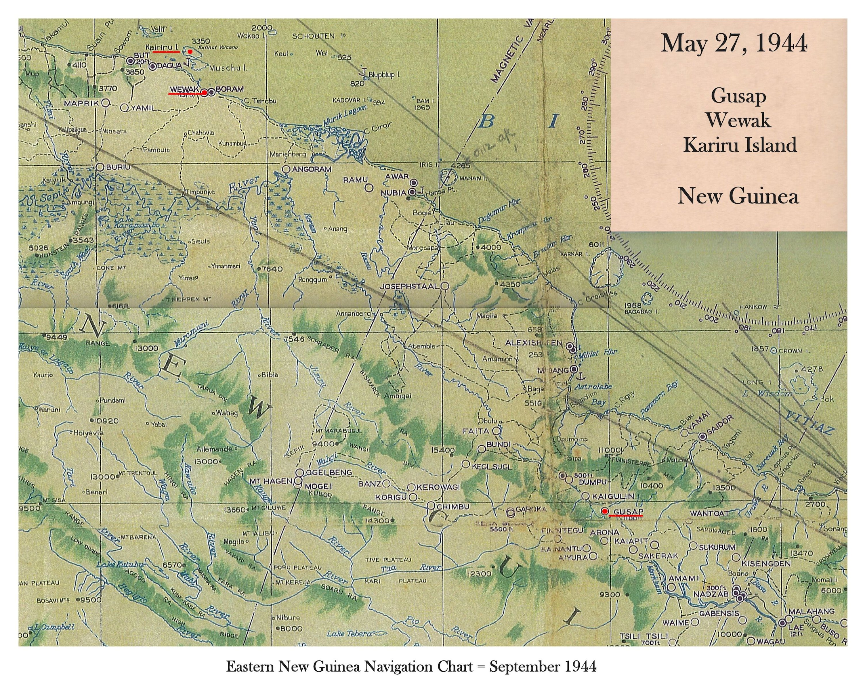
Map-Gusap to Kairiru Island
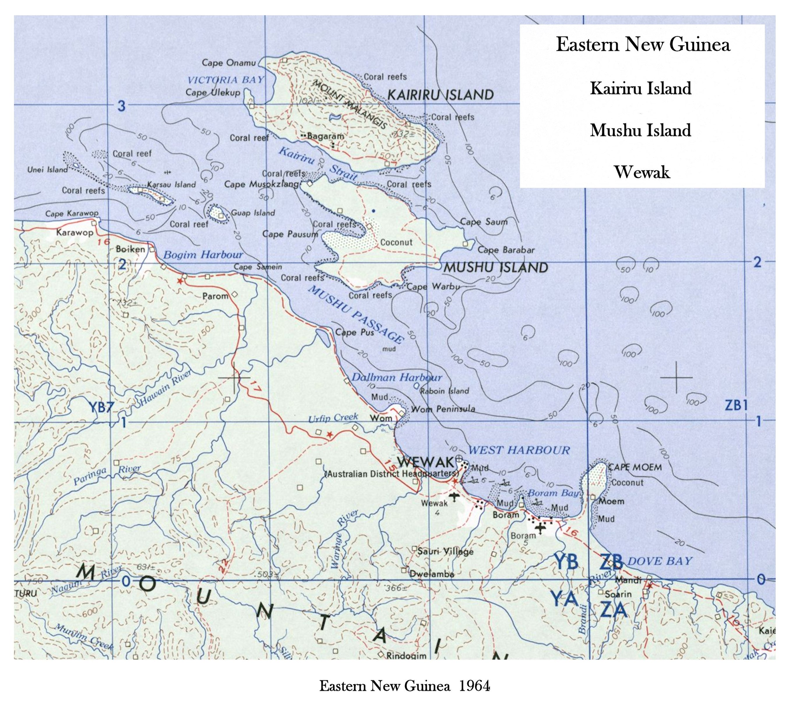
Kairiru Island and Wewak
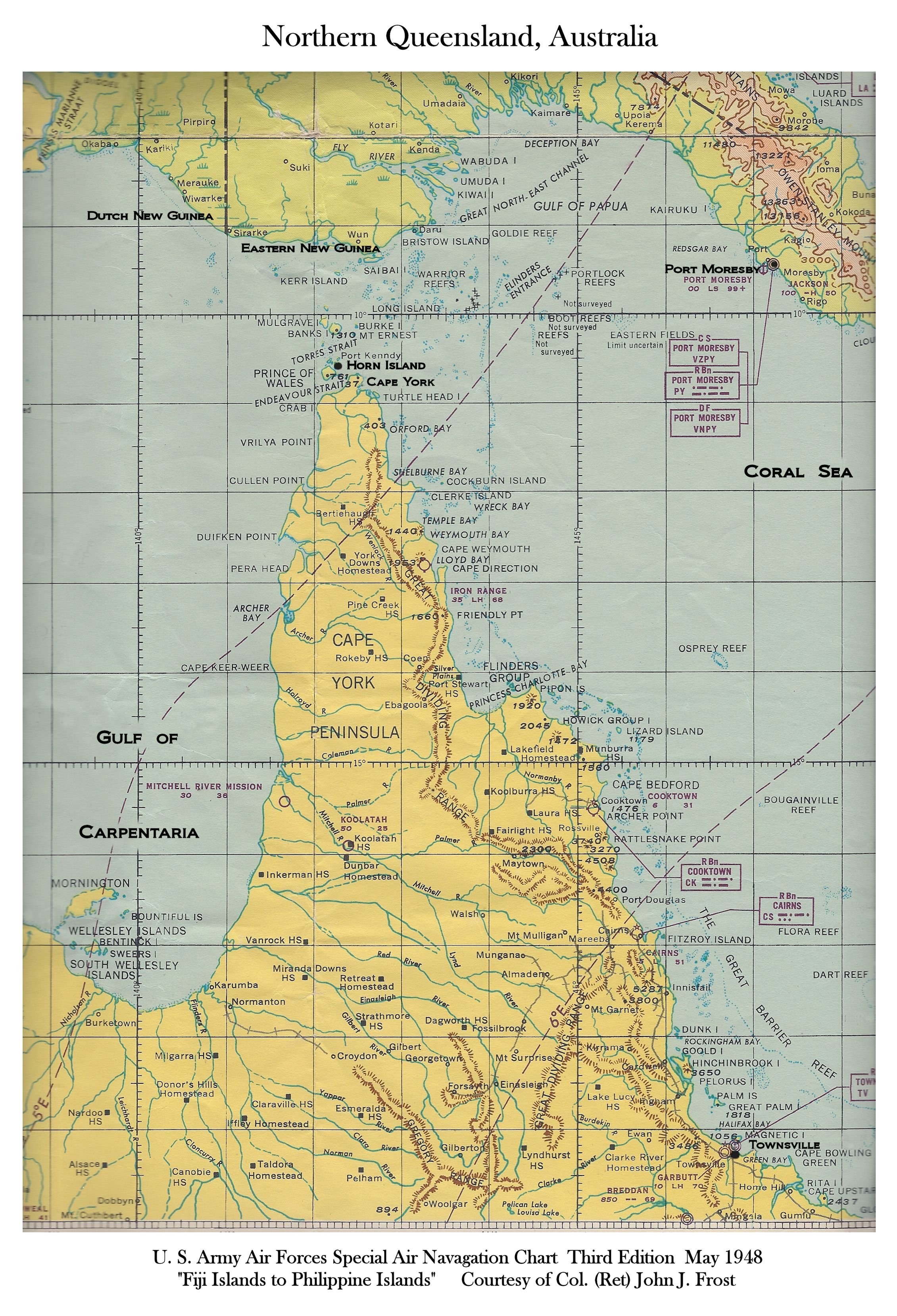
Northern Queensland, AUS
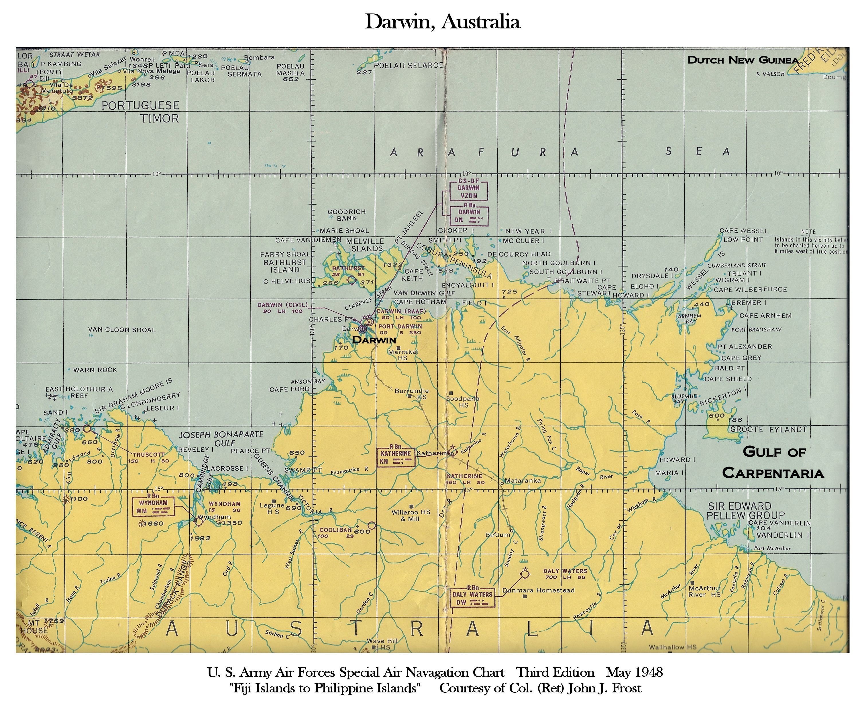
Darwin, Australia
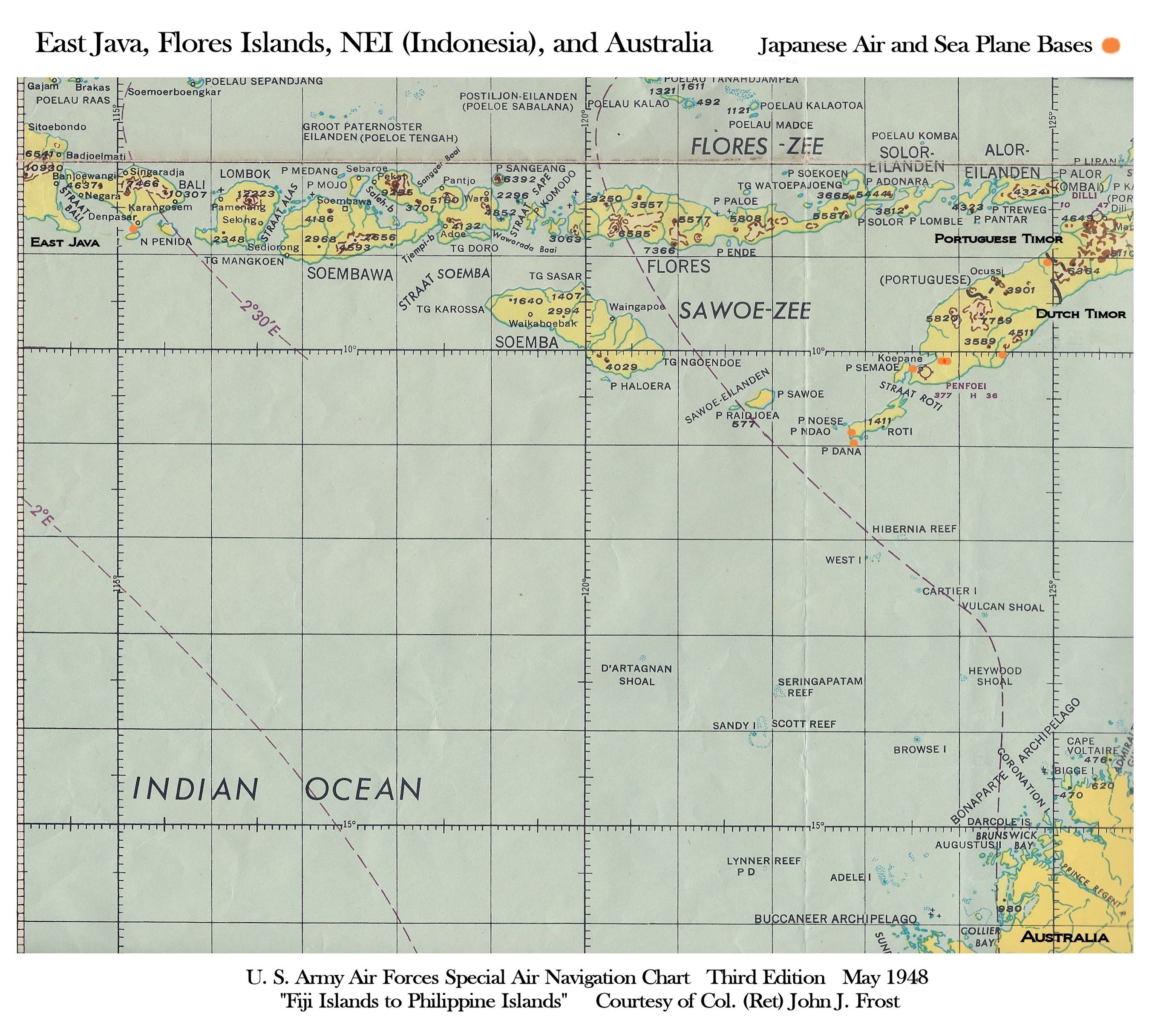
Java, Flores Islands, Australia
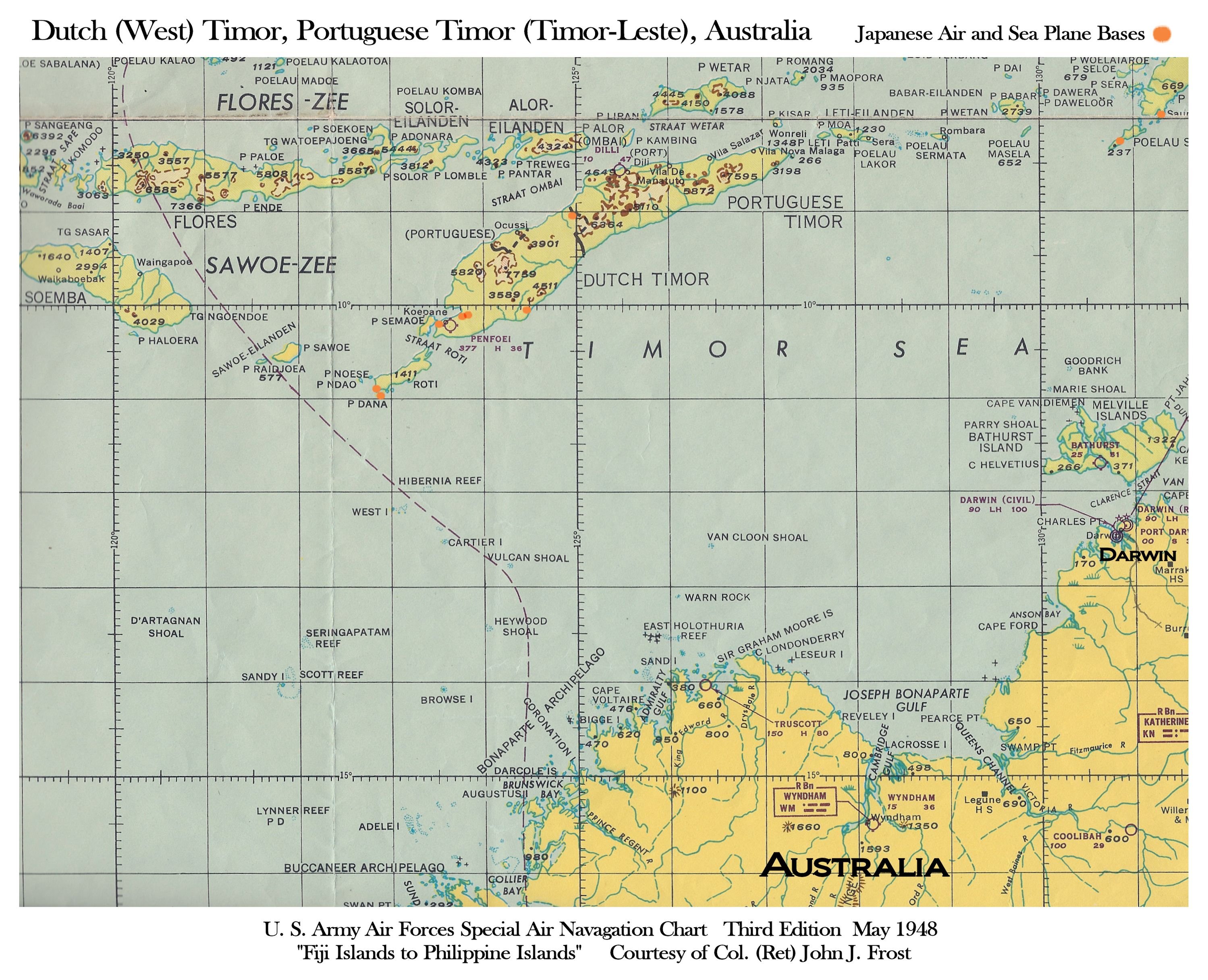
Timor, Australia
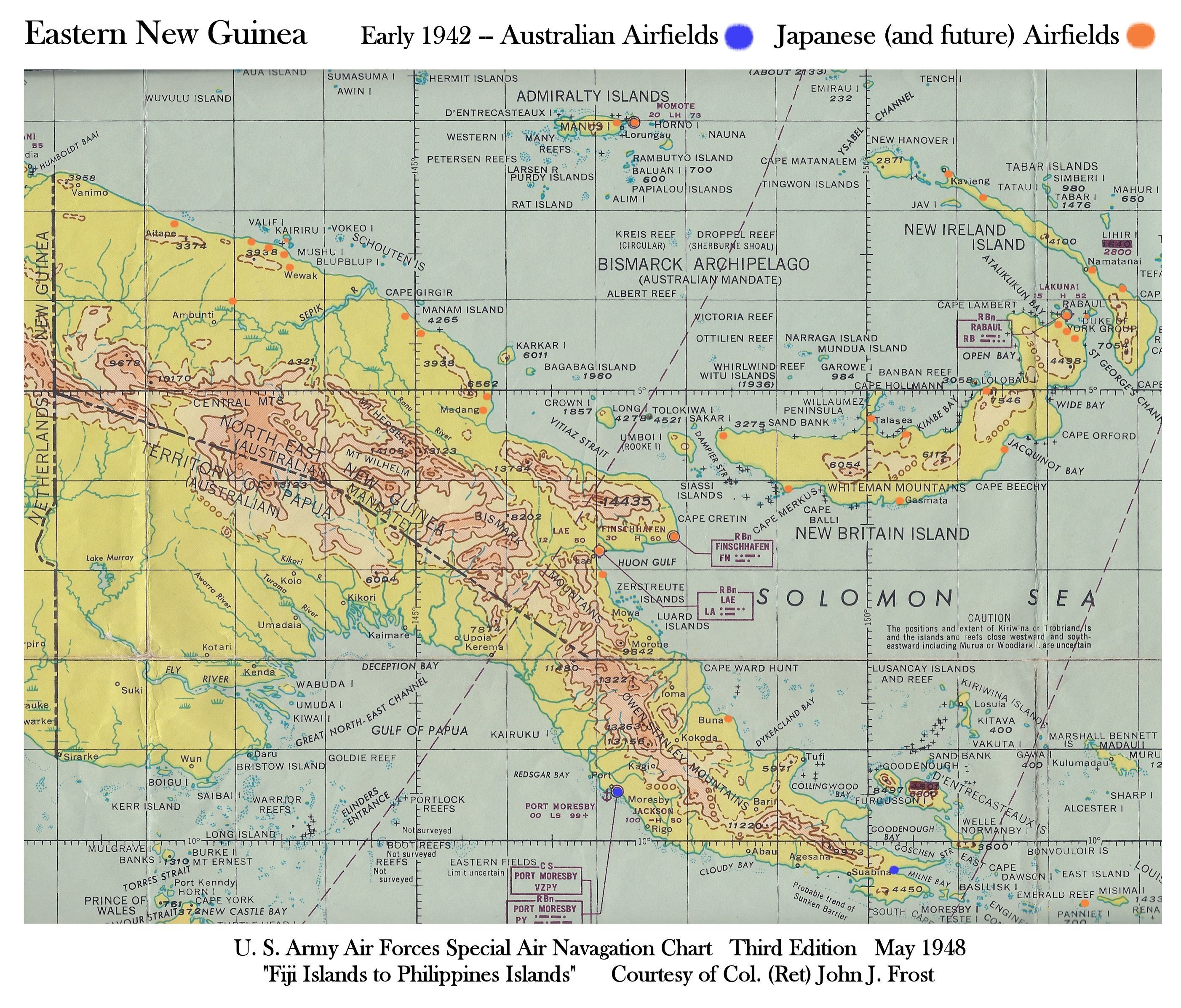
Eastern New Guinea & New Britain
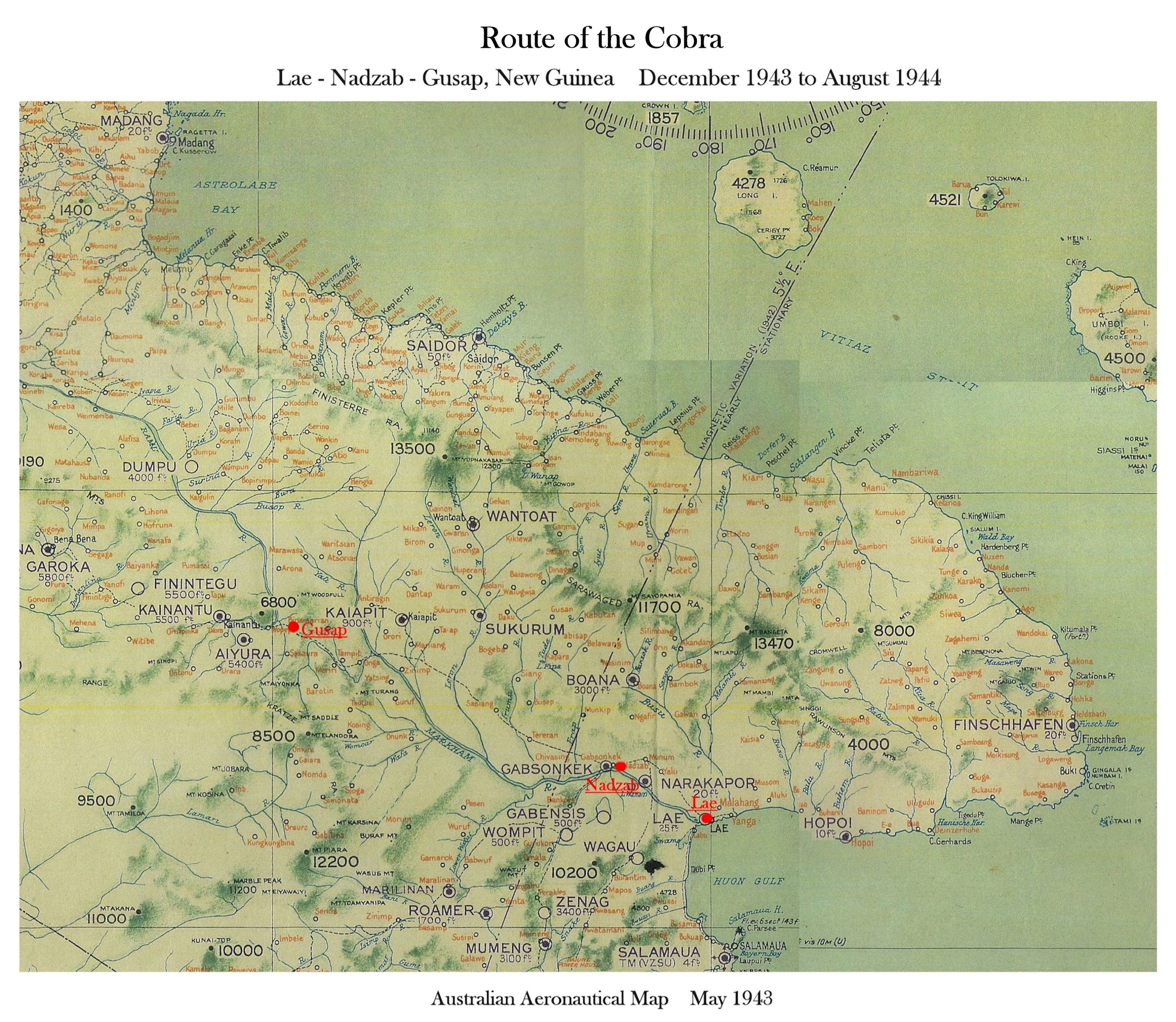
Lae, Nadzab, Gusap, New Guinea
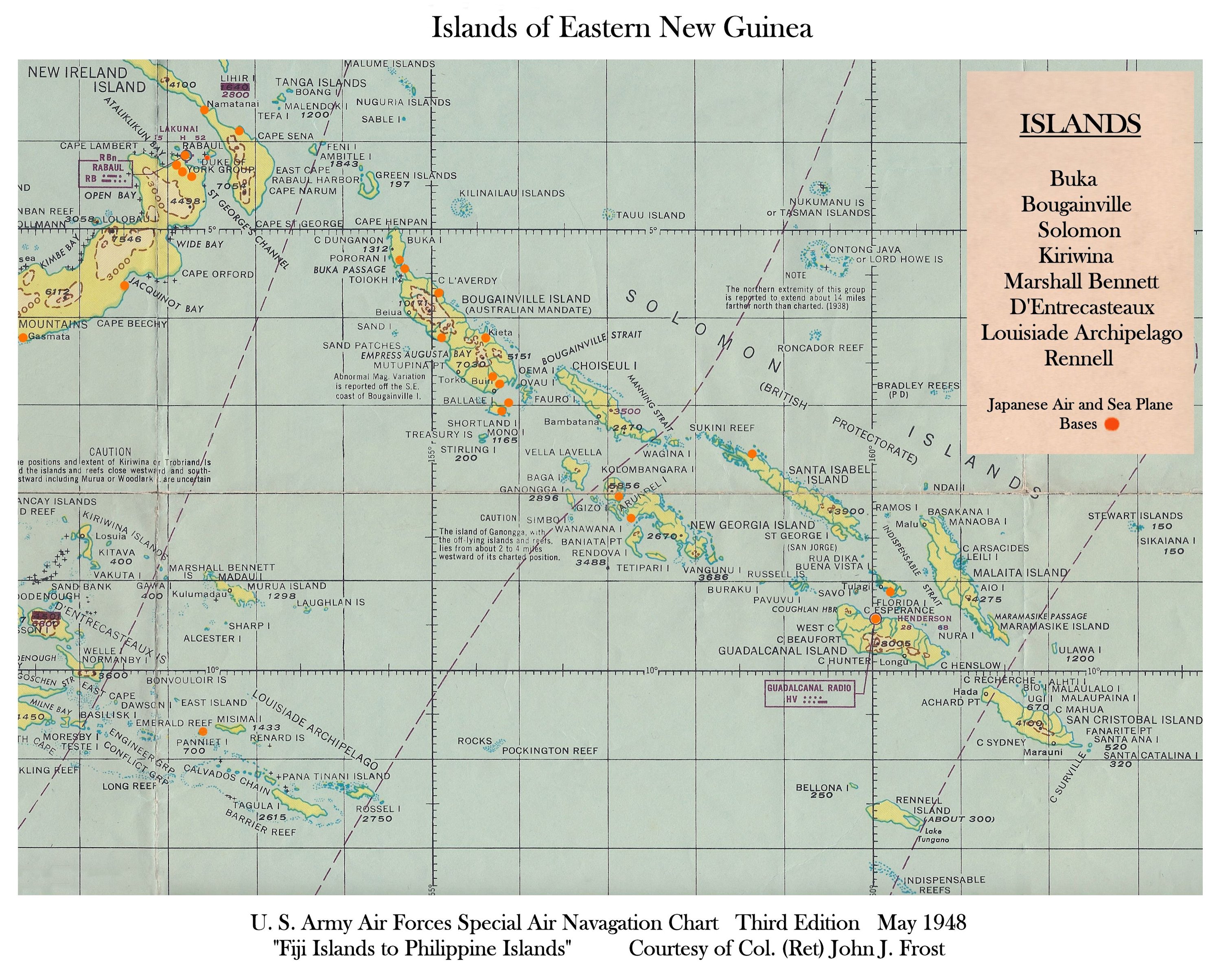
Islands of Eastern New Guinea
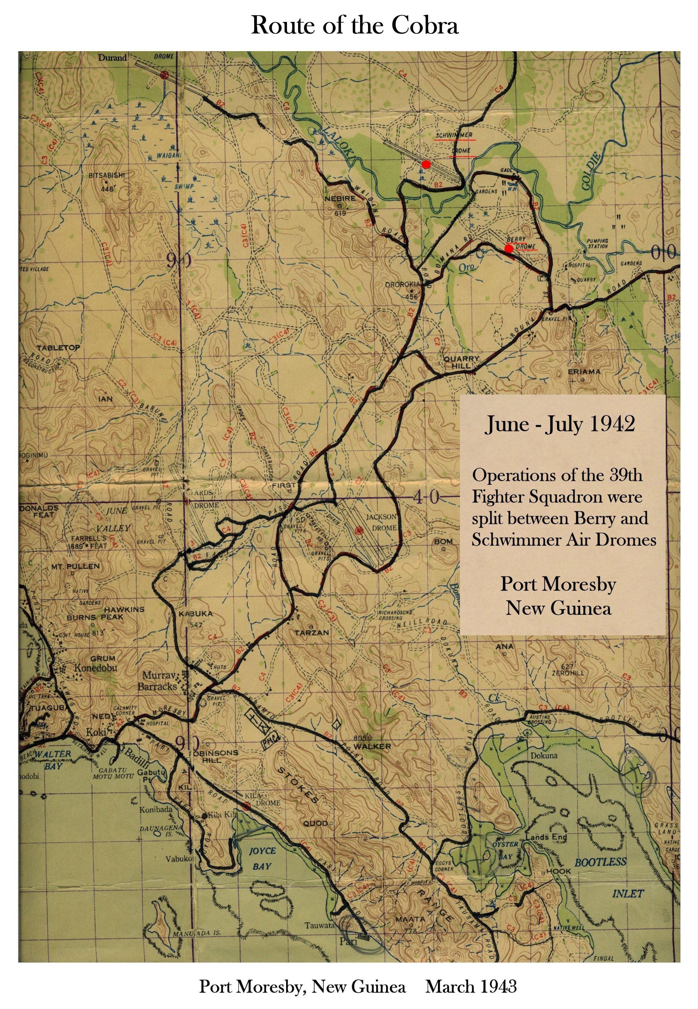
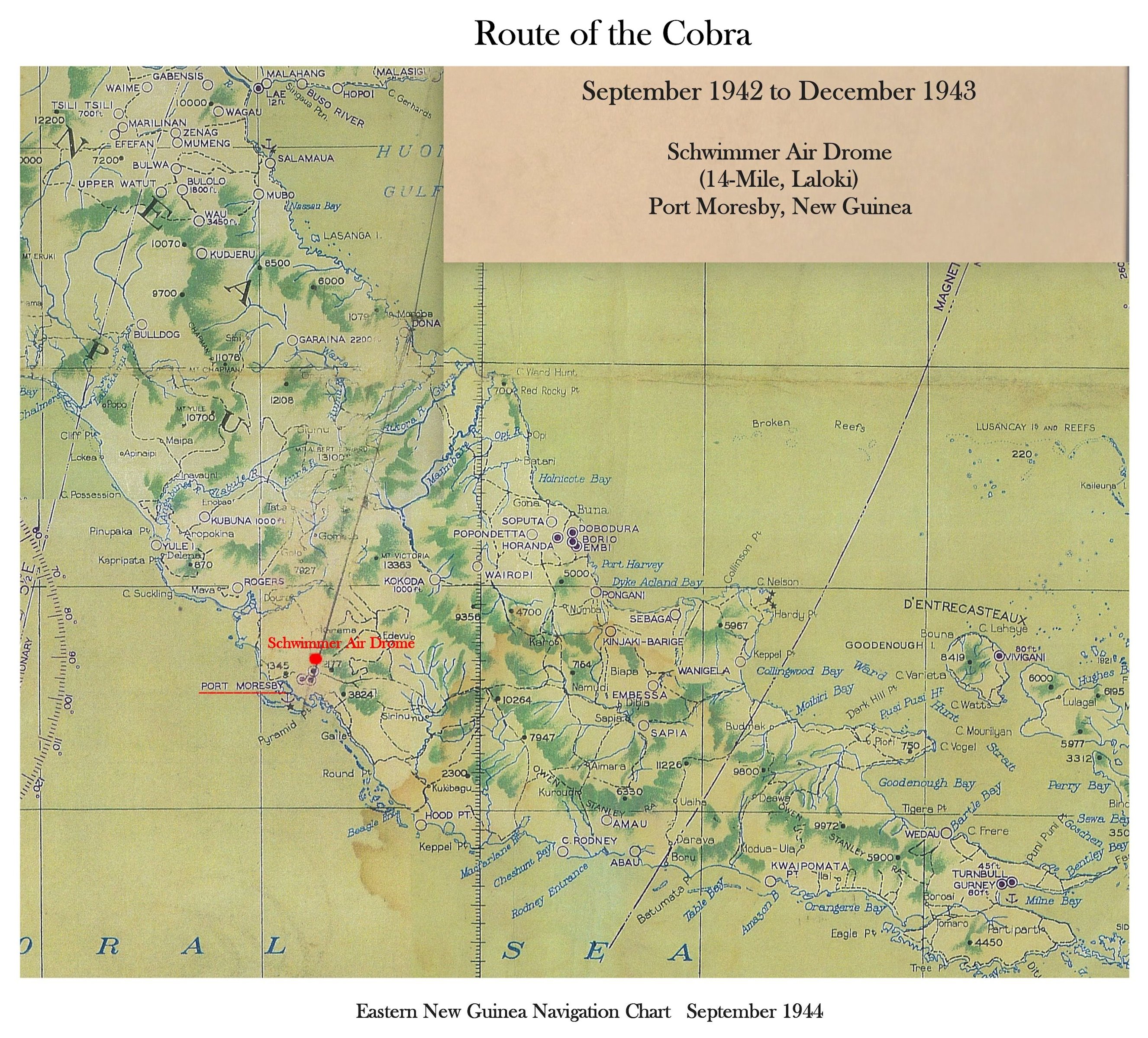
Port Moresby Area
Port Moresby-Lae-Milne Bay

Borneo, NEI
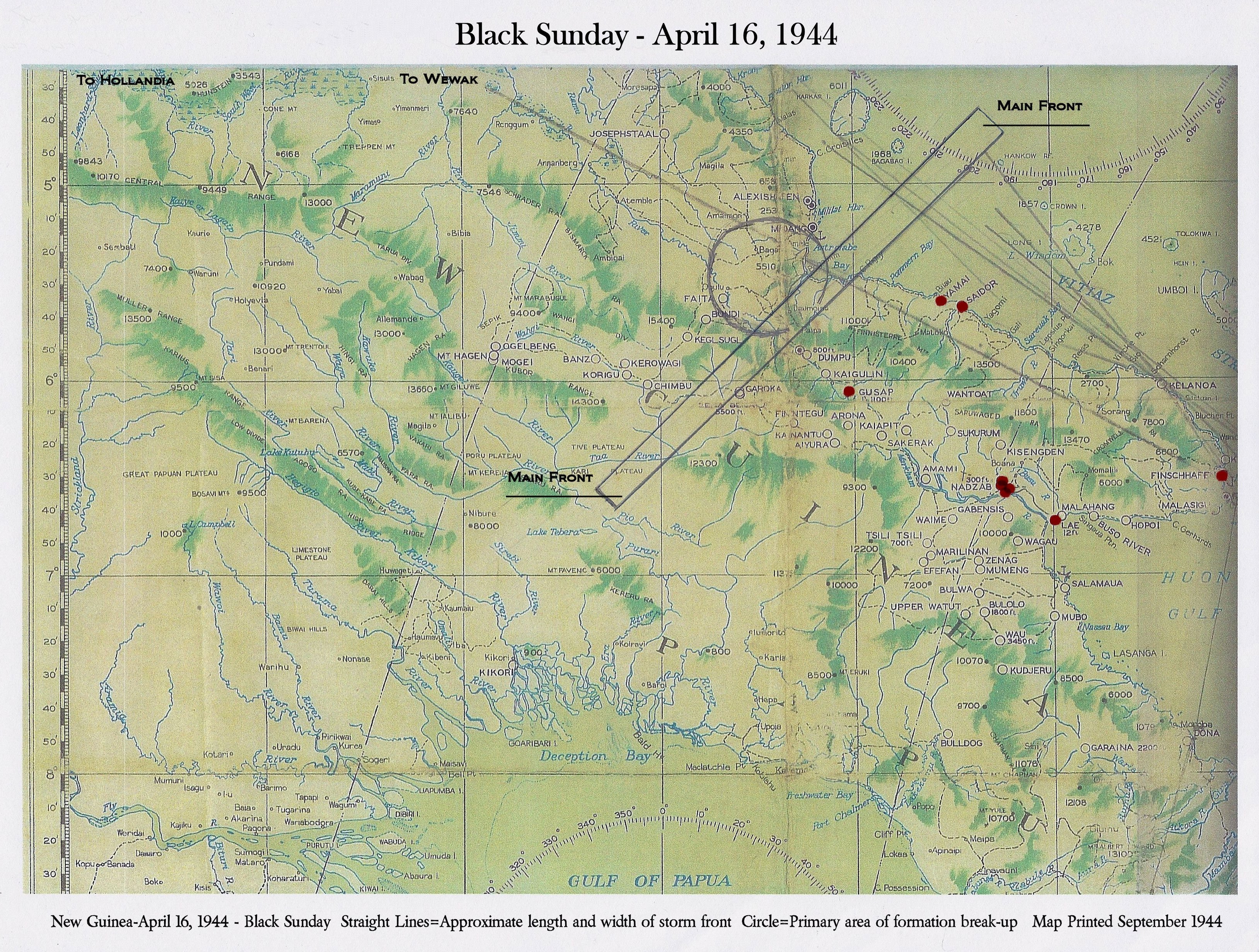
Black Sunday, April 16, 1944
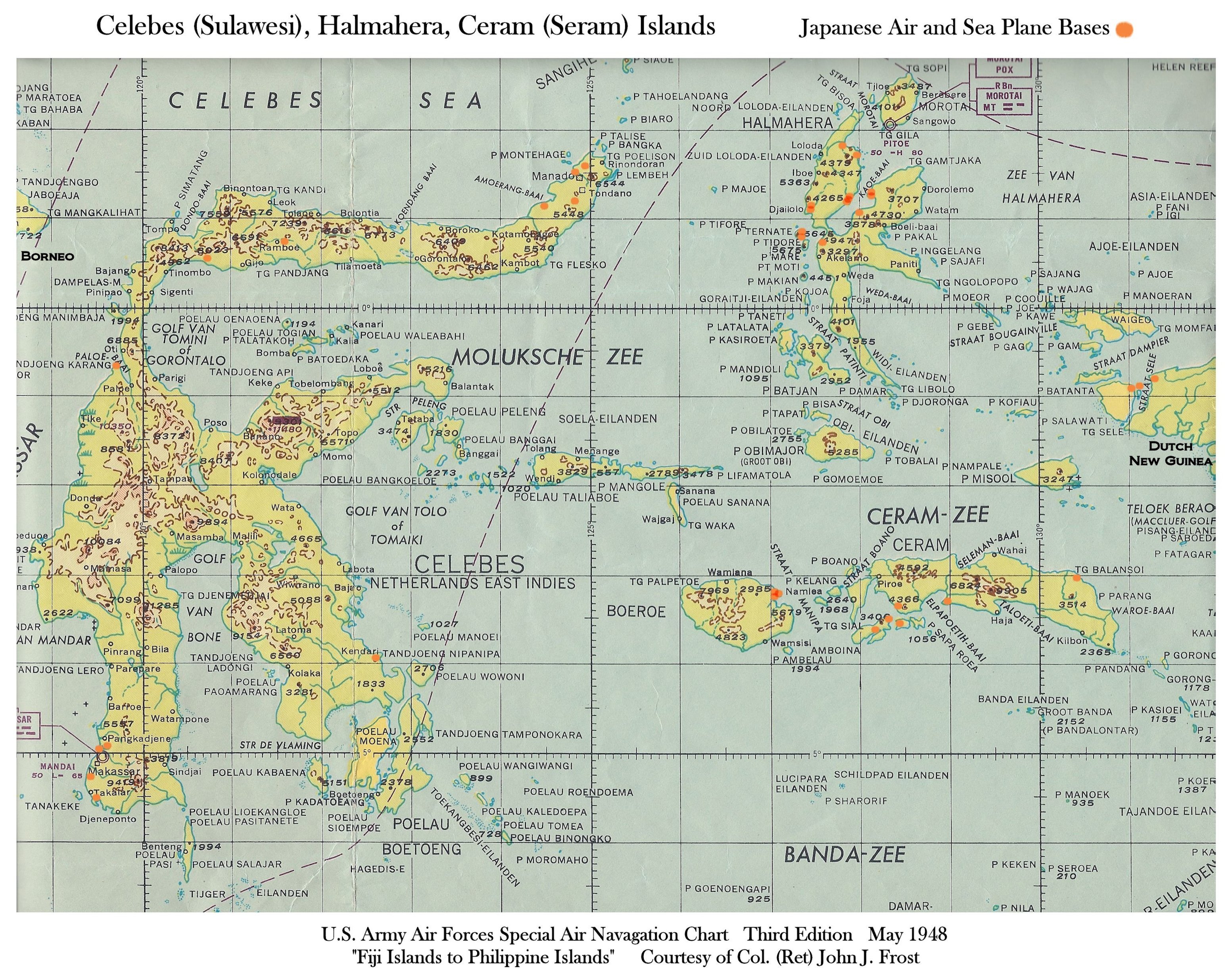
Celebes, Halmahera, & Ceram Islands
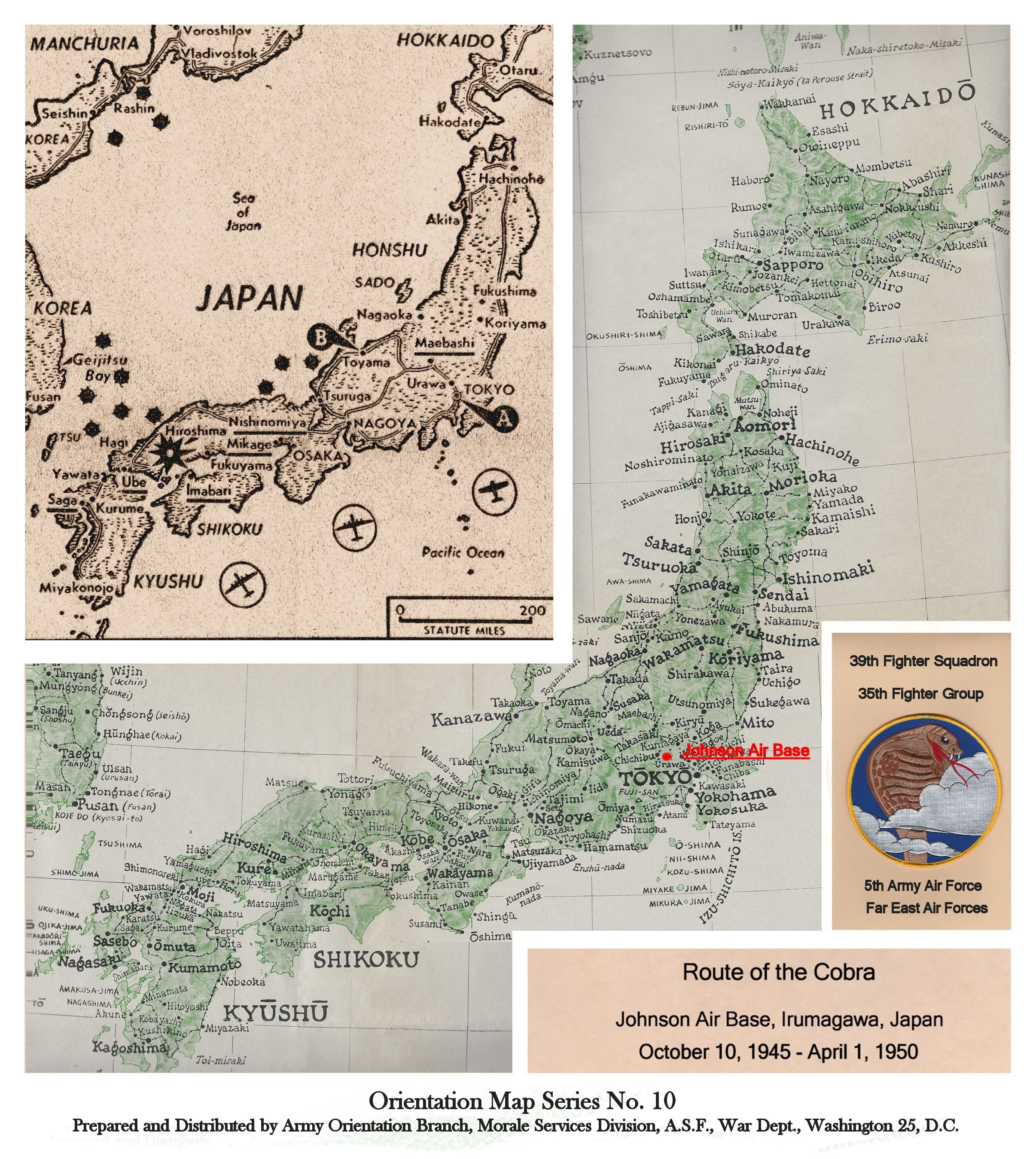
Japan
Okinawa, Japan
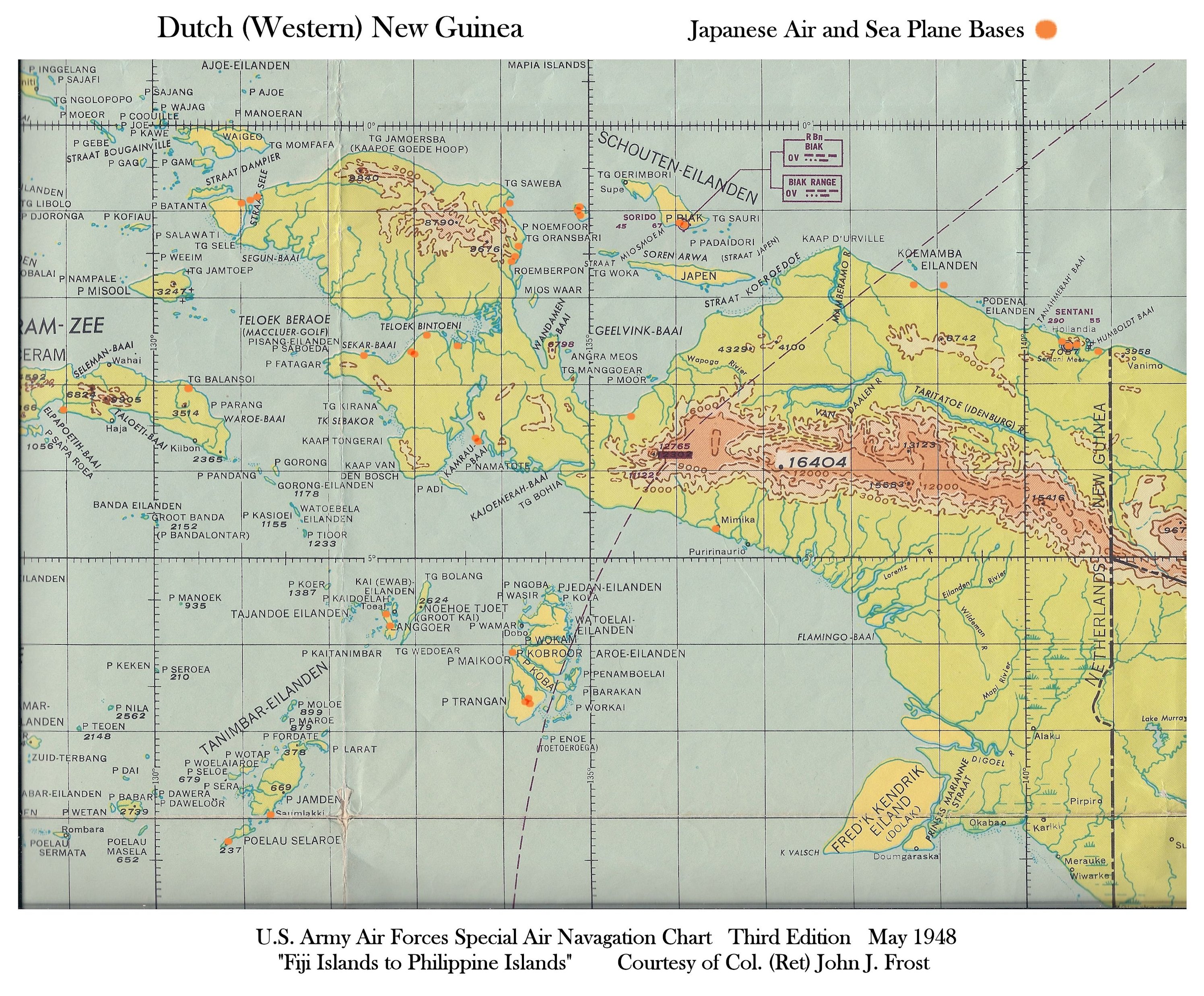
Western New Guinea

Noemfoor, Owi of Dutch New Guinea
All maps were provided by Colonel Jack Frost (USA Ret)
Map of Indonesia
Map by Art of Anderson: Papua New Guinea